I had a week of vacation so I thought I would try the 3 planned Iron Butt rides.
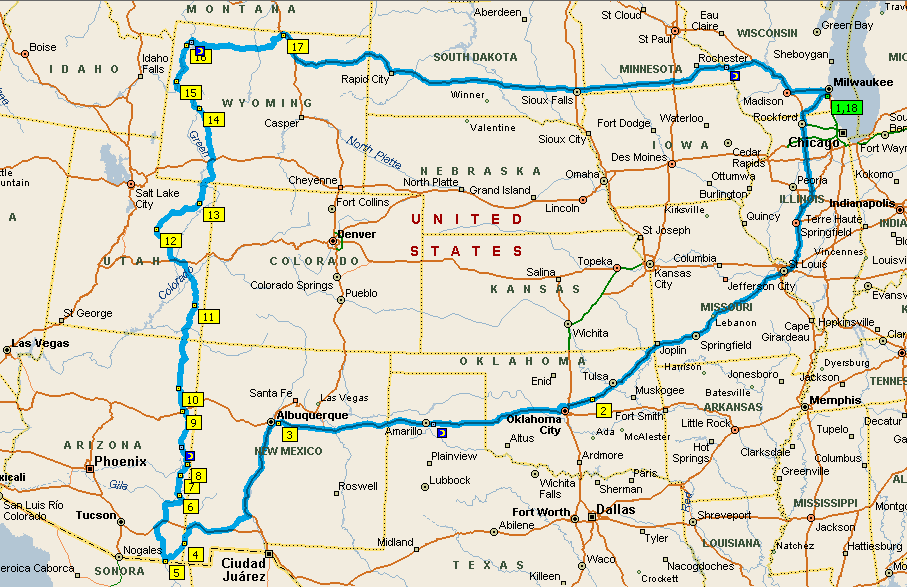
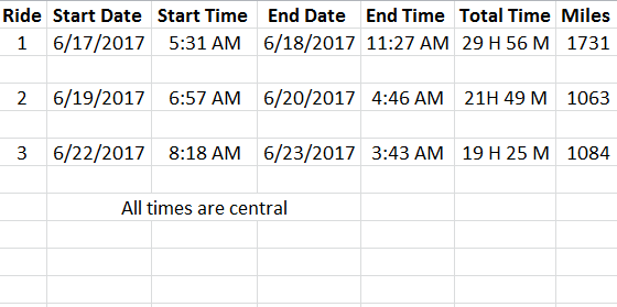
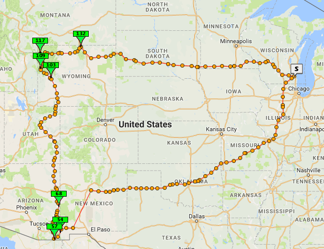
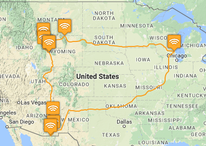
Ride 1 was point 1 to point 4 on the map, 1731 miles in less than 30 hours. The IBA BB1500 Silver.
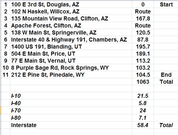
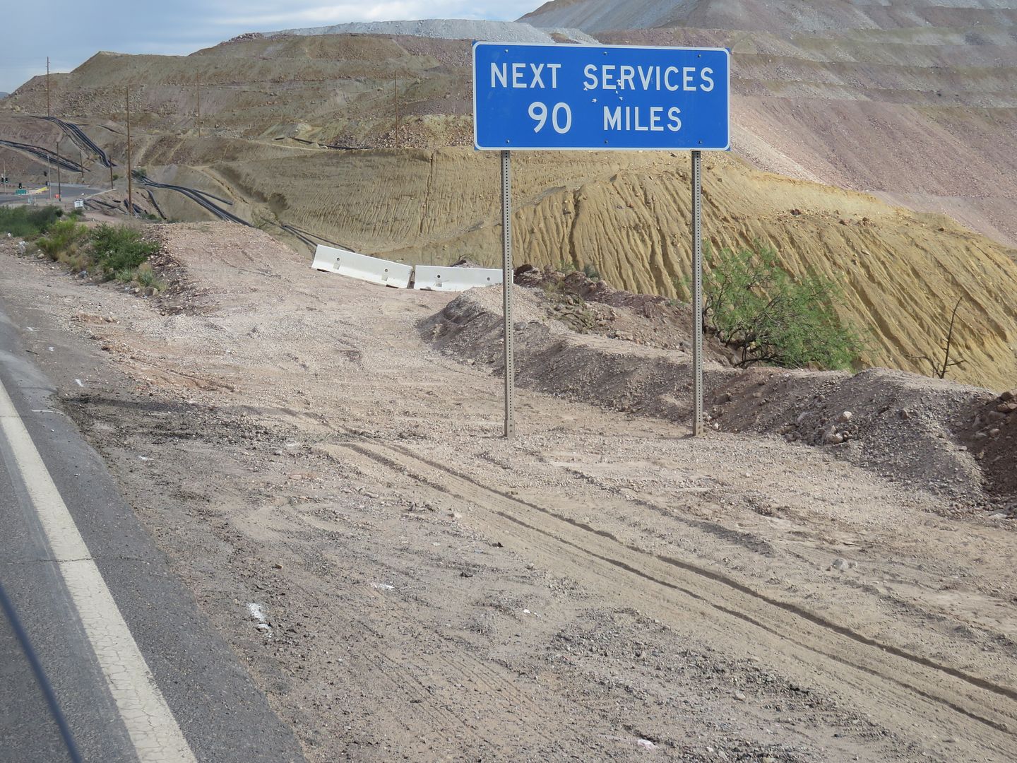
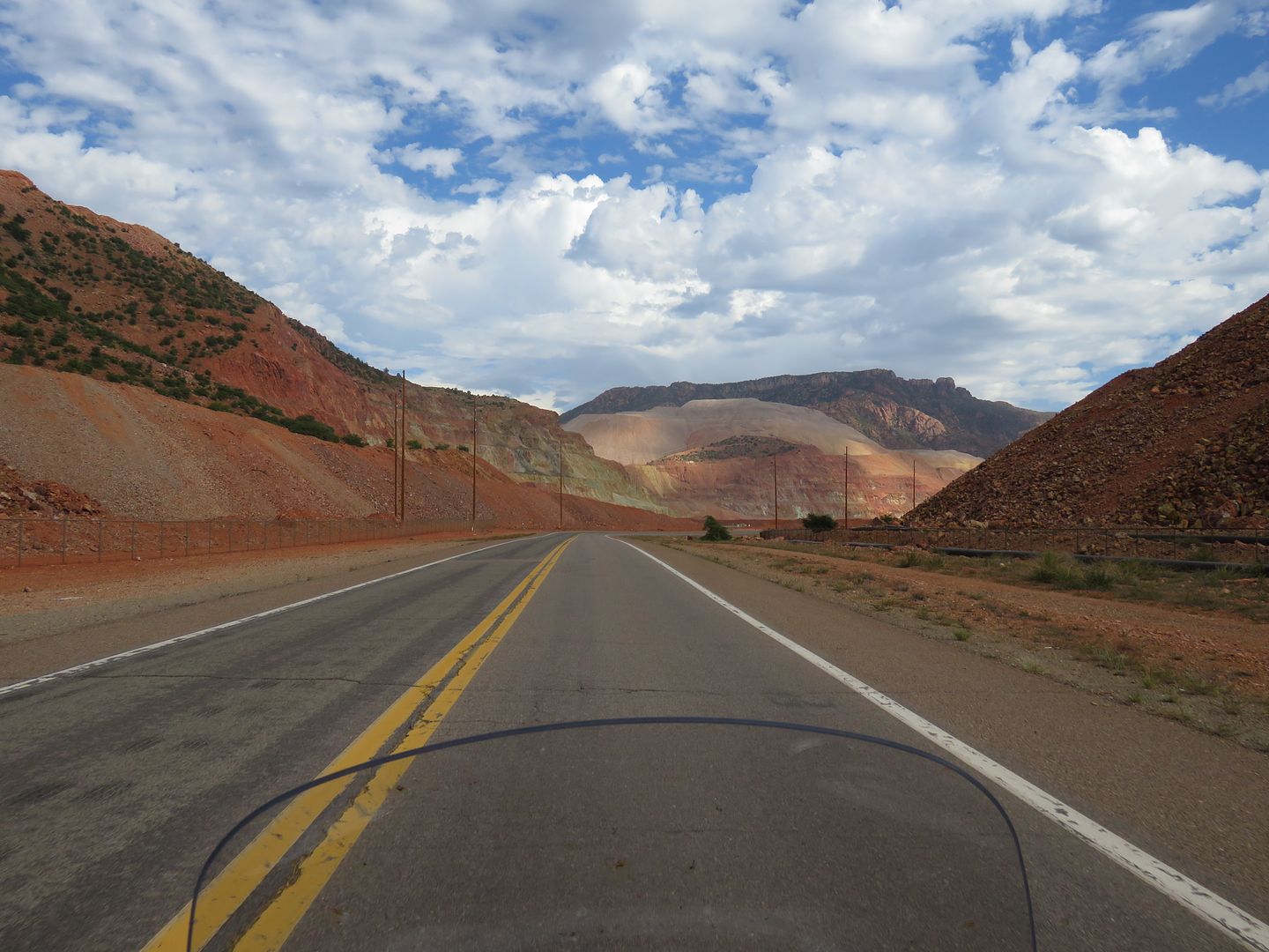
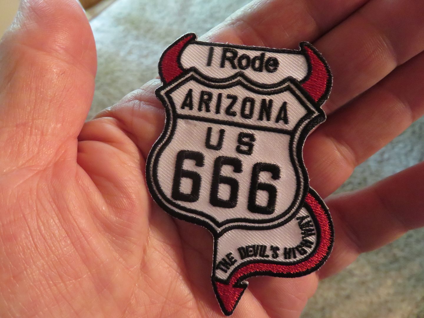
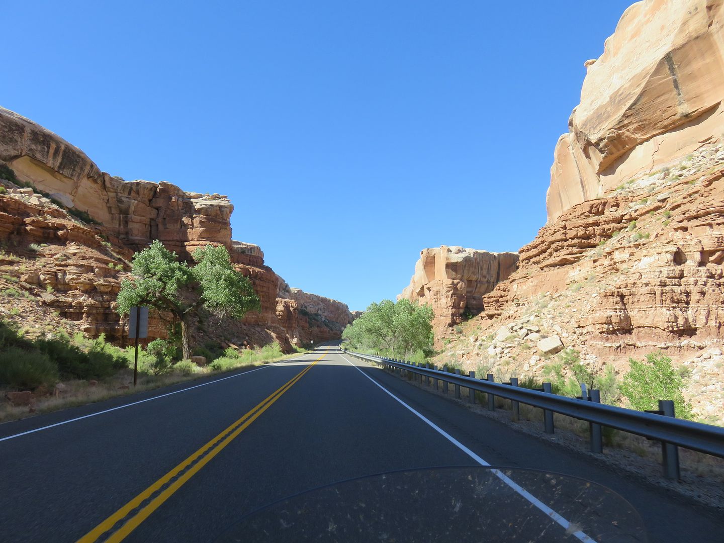
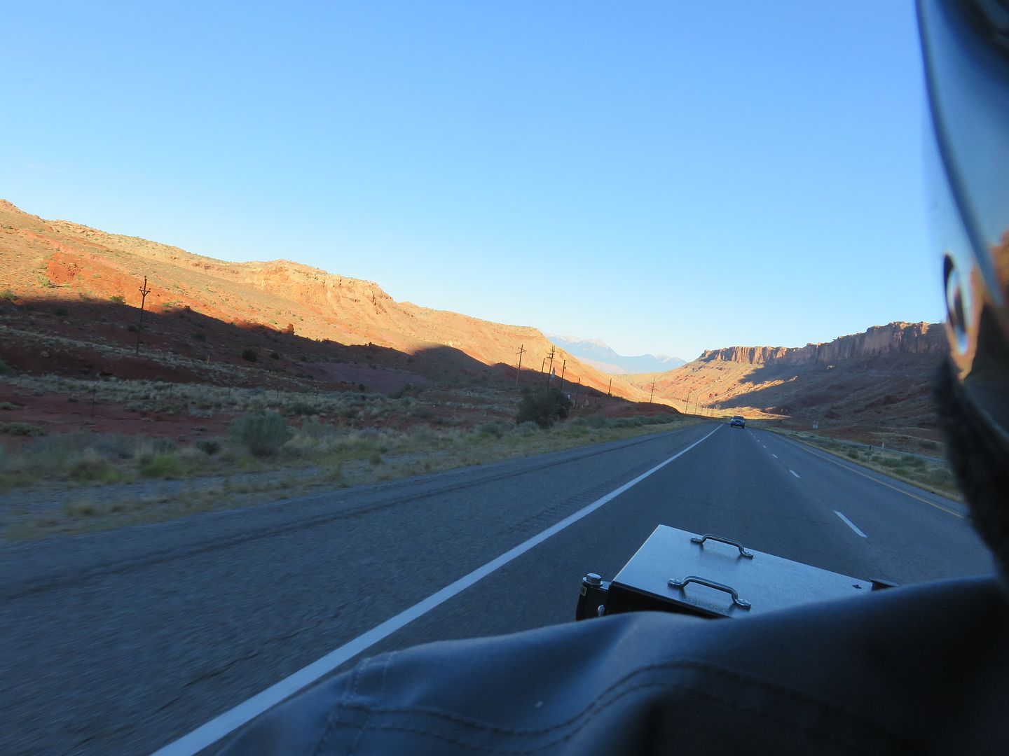
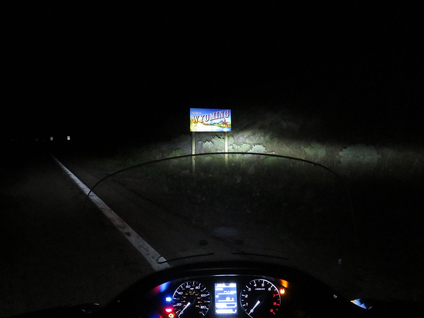
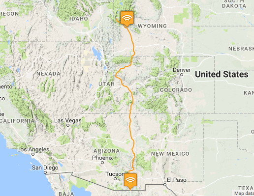
Ride 2 started in Douglas, AZ and continued north 1063 miles in less than 24 hours to Pinedale, WY, point 5 to 14. All done on Highway 191 including some of the crookedest roads in the country including the Coronado Trail (666) (460+ curves) and the Flaming Gorge area in northern Utah. Over 1000 miles were done on two lane roads. The IBA SS1000.
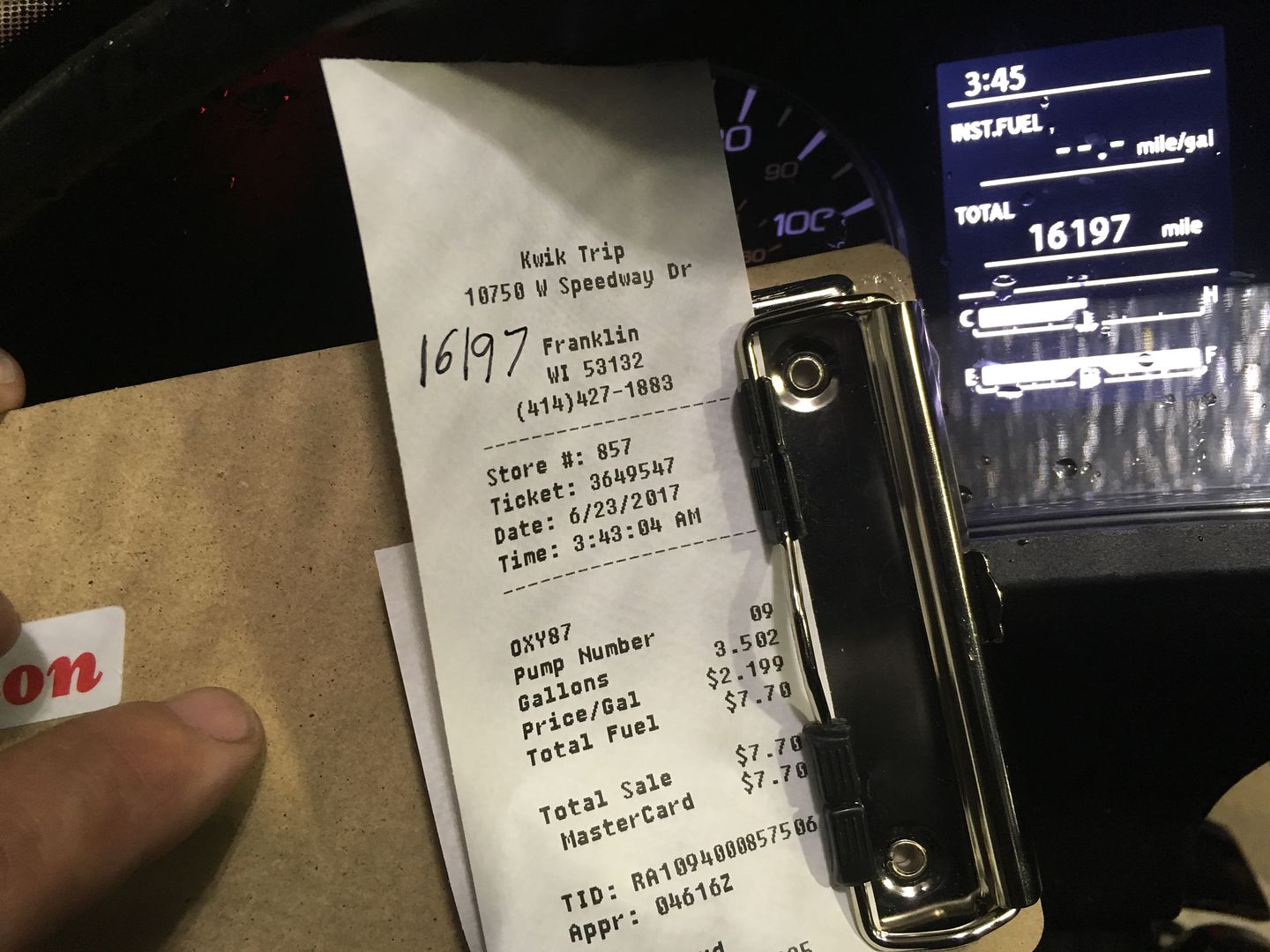
Ride 3 was point 17 to 18, 1084 miles in less than 24 hours, the ride home. The IBA SS1000.
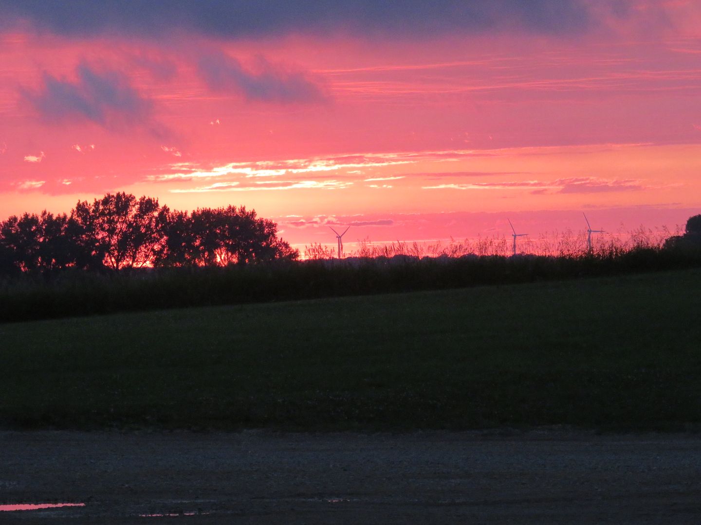
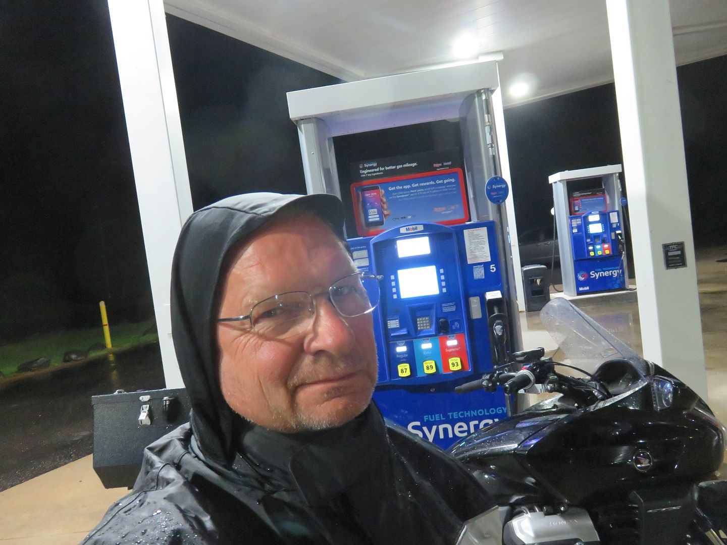
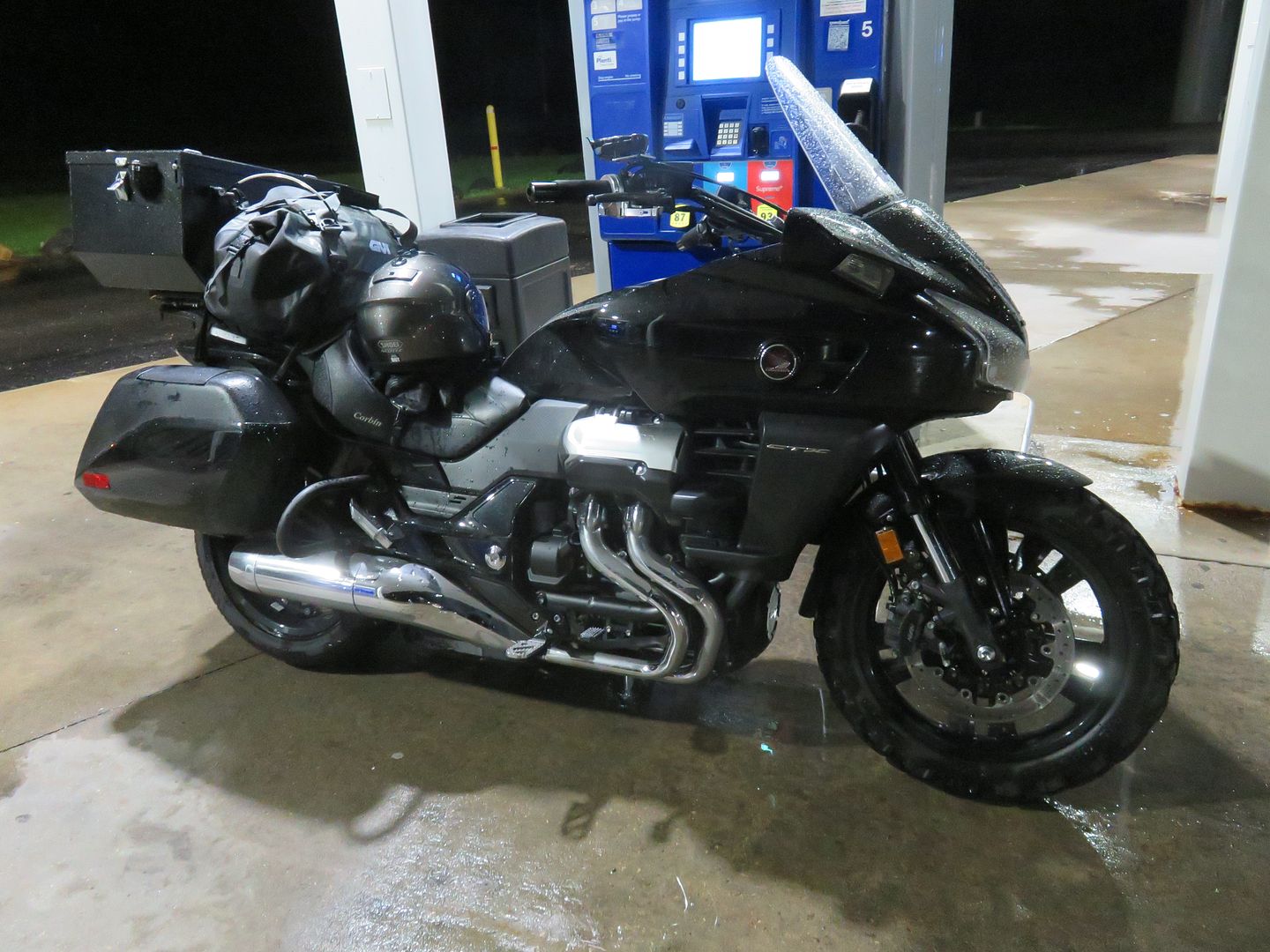
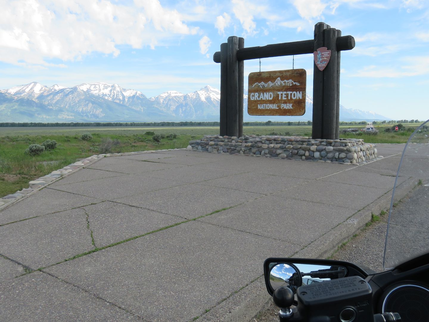
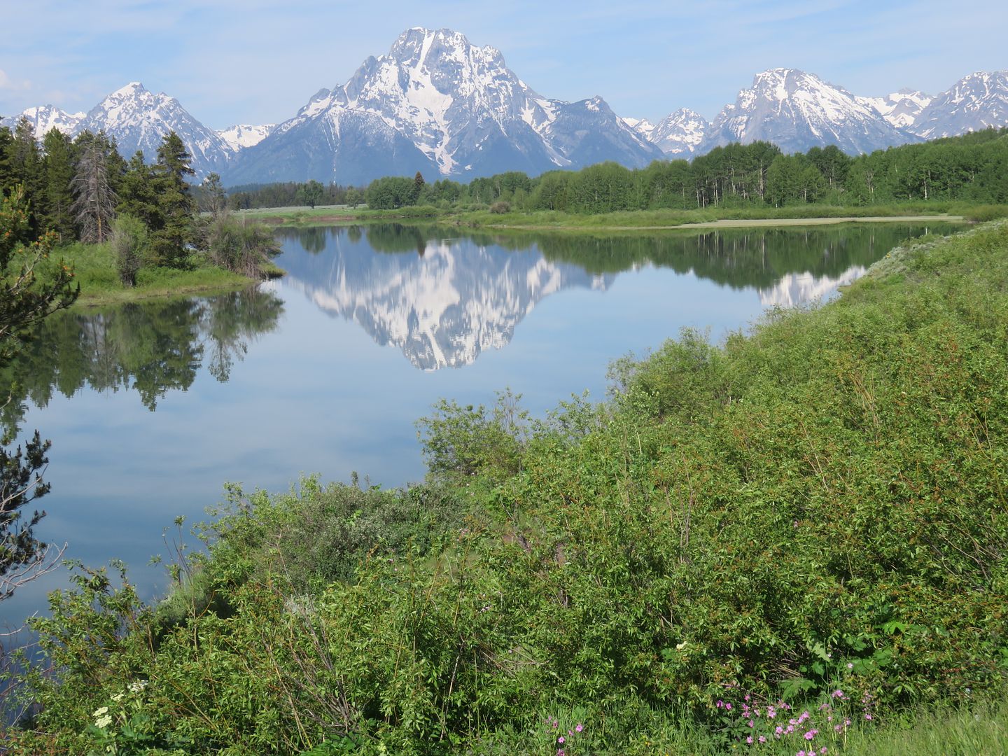
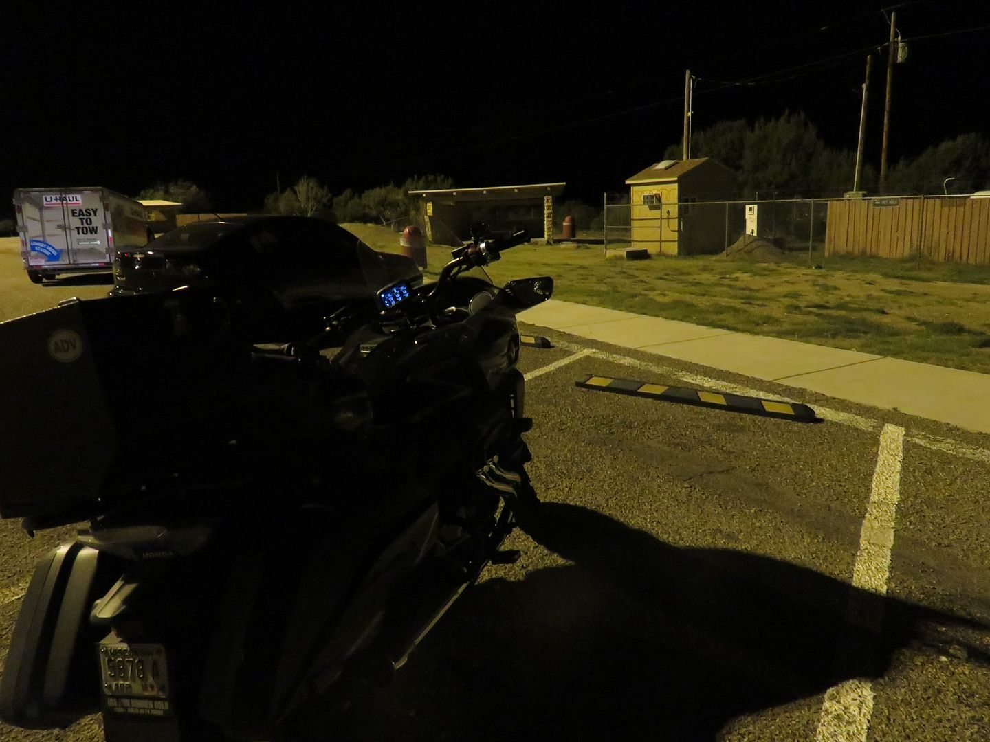
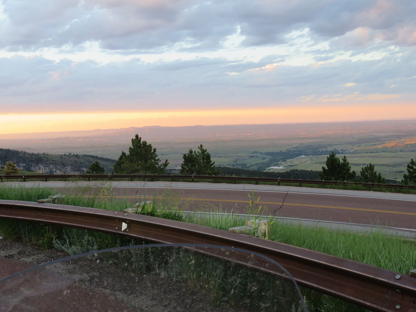
I also spent some time in Jackson, WY, the Grand Tetons and Yellowstone N.P. Temps on the Highway 191 ride ranged from 105 to 41 degrees. Steady rain for the last 200 miles on the way home! Full trip was 4358 miles. It was a 7 day trip and I only needed 3 motels, I do save a lot on motels!
1267 photos taken!
Finished the trip last Friday morning at about 4:00 am. Had a fun, busy and very scenic 7 days.
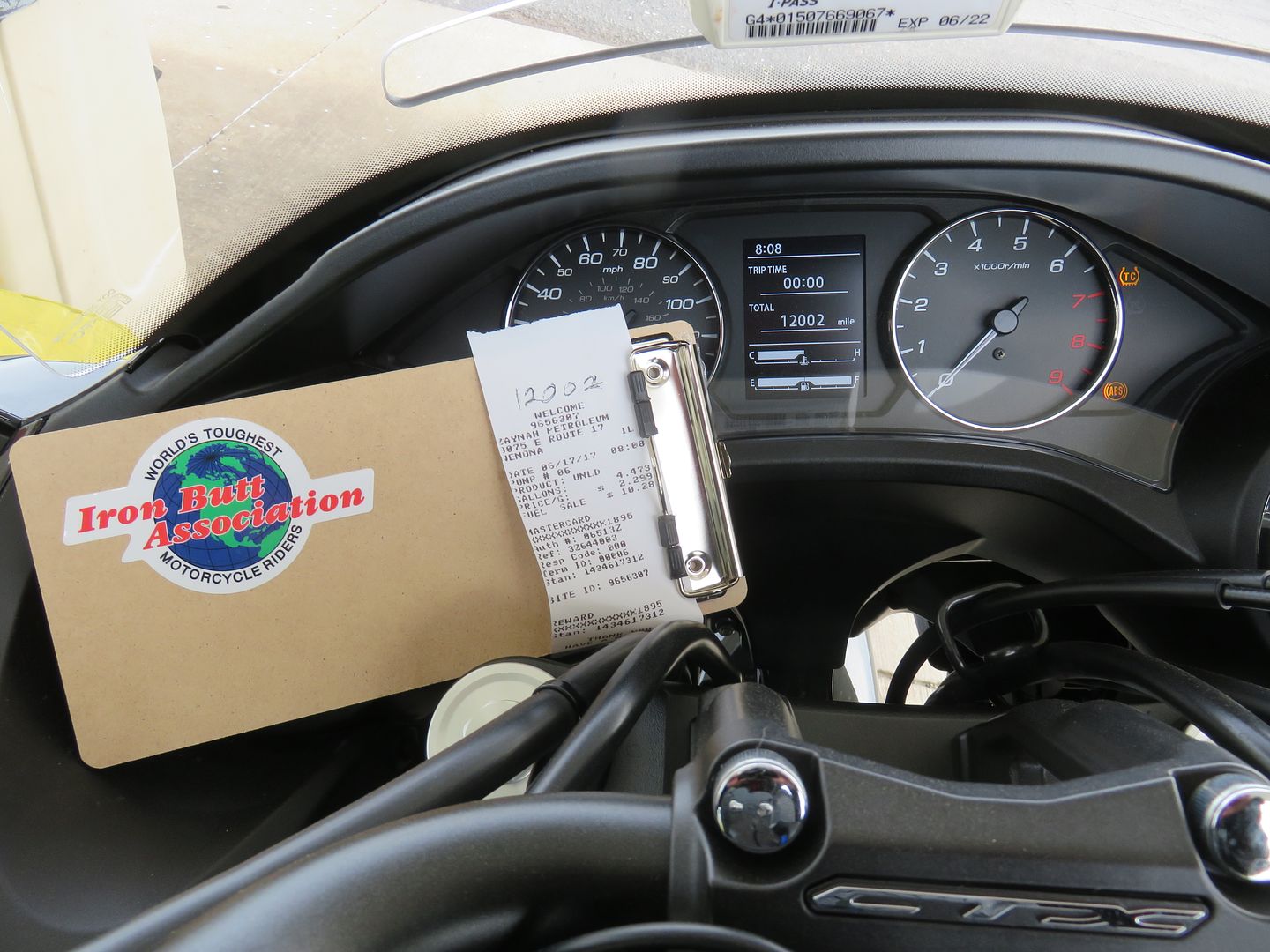
Started working on the IBA paperwork.
The goal for ride 1 was 1500+ miles in less than 30 hours, completed 1731 miles with 4 minutes to spare.
Trip 2 was the All Highway 191 ride.
Trip 3 was the ride home.
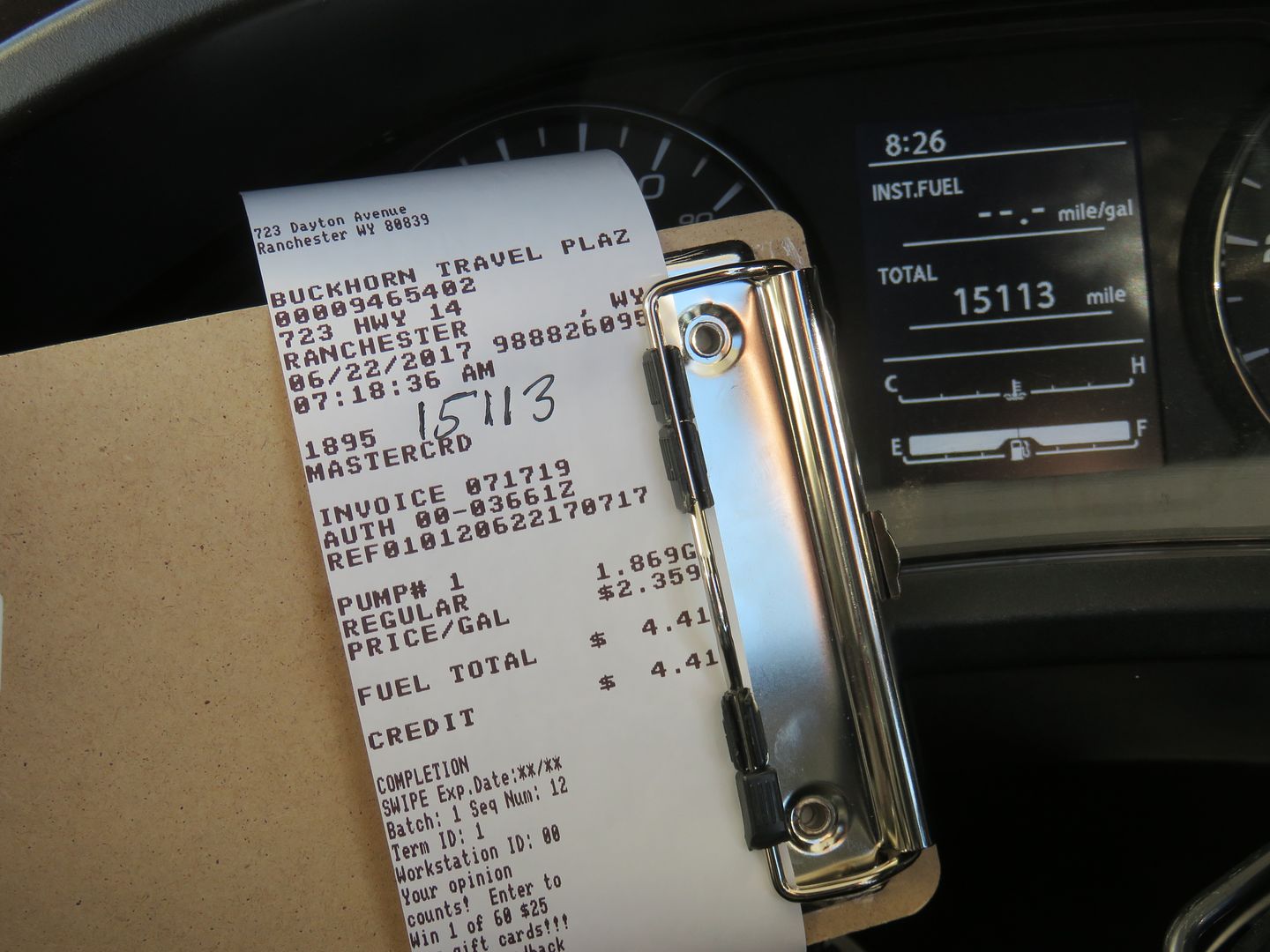
Times are based on receipt time and all were changed to central time to show the actual ride time.
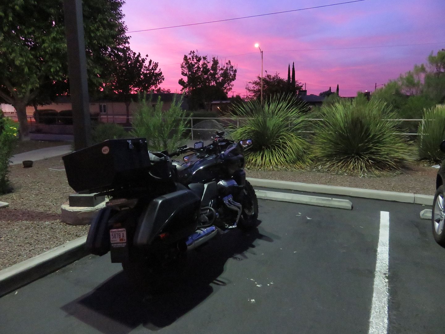
Riding to Douglas.
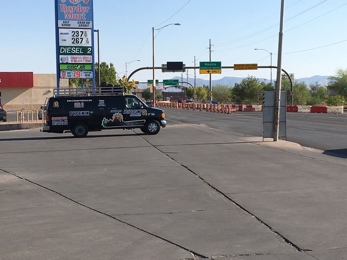
At the start of the Highway 191 ride in Douglas, AZ. Turn left and you're going to Mexico.
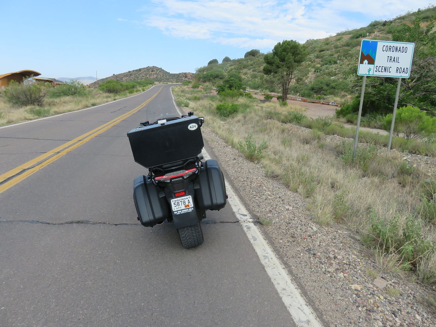
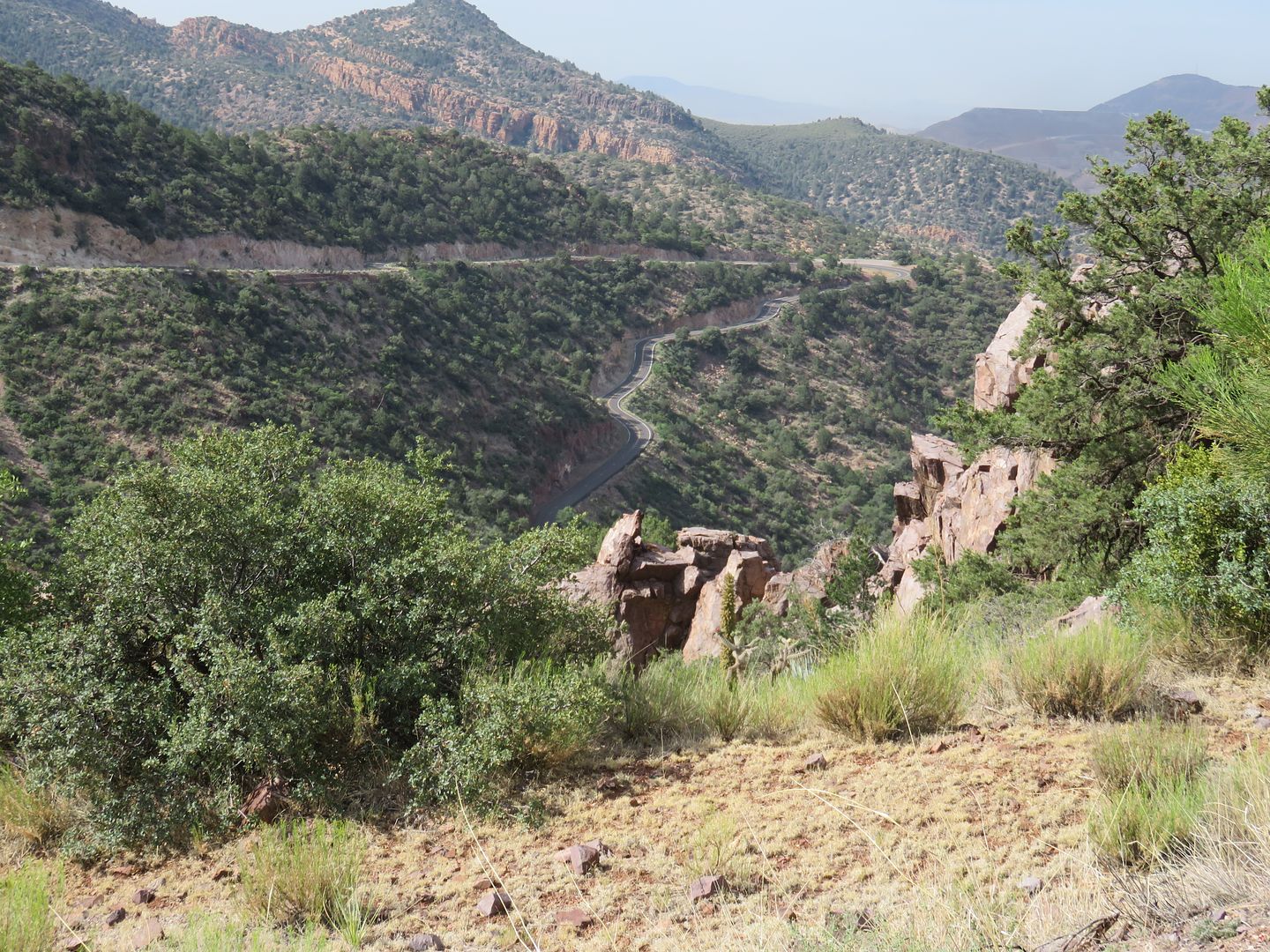
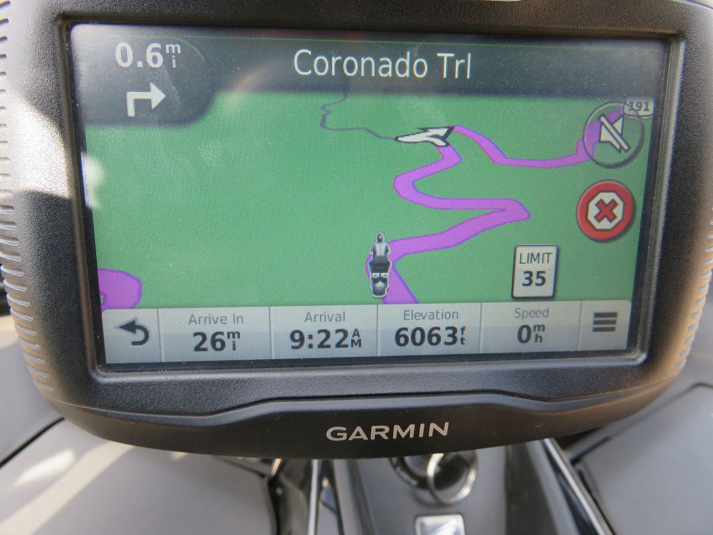
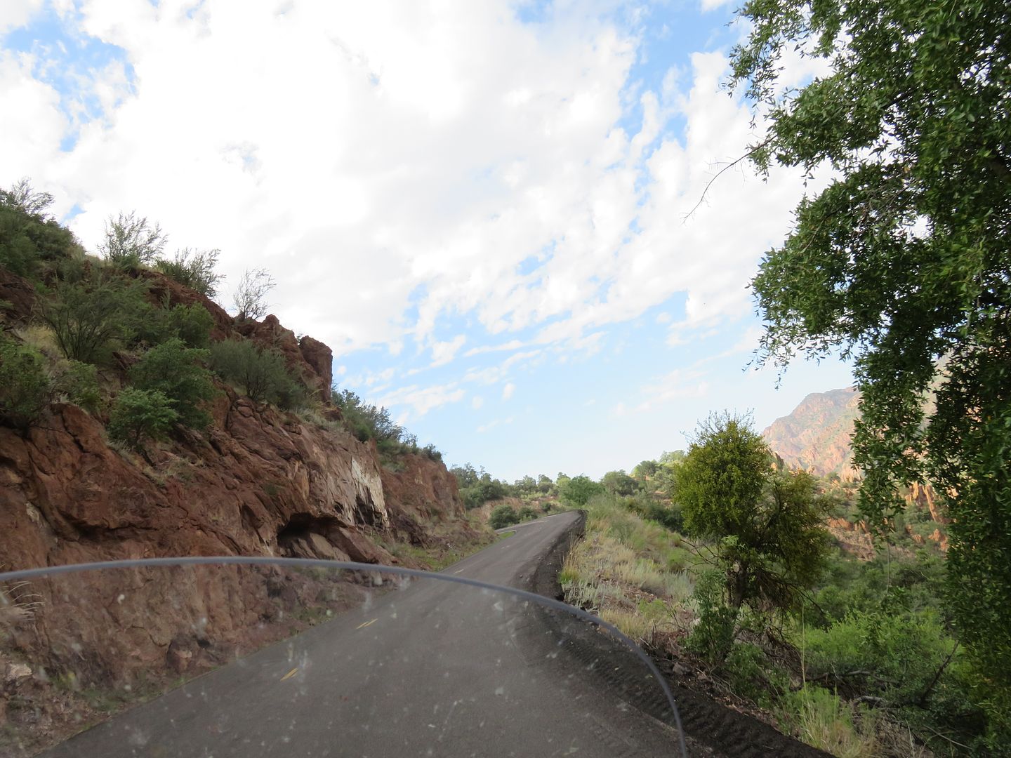
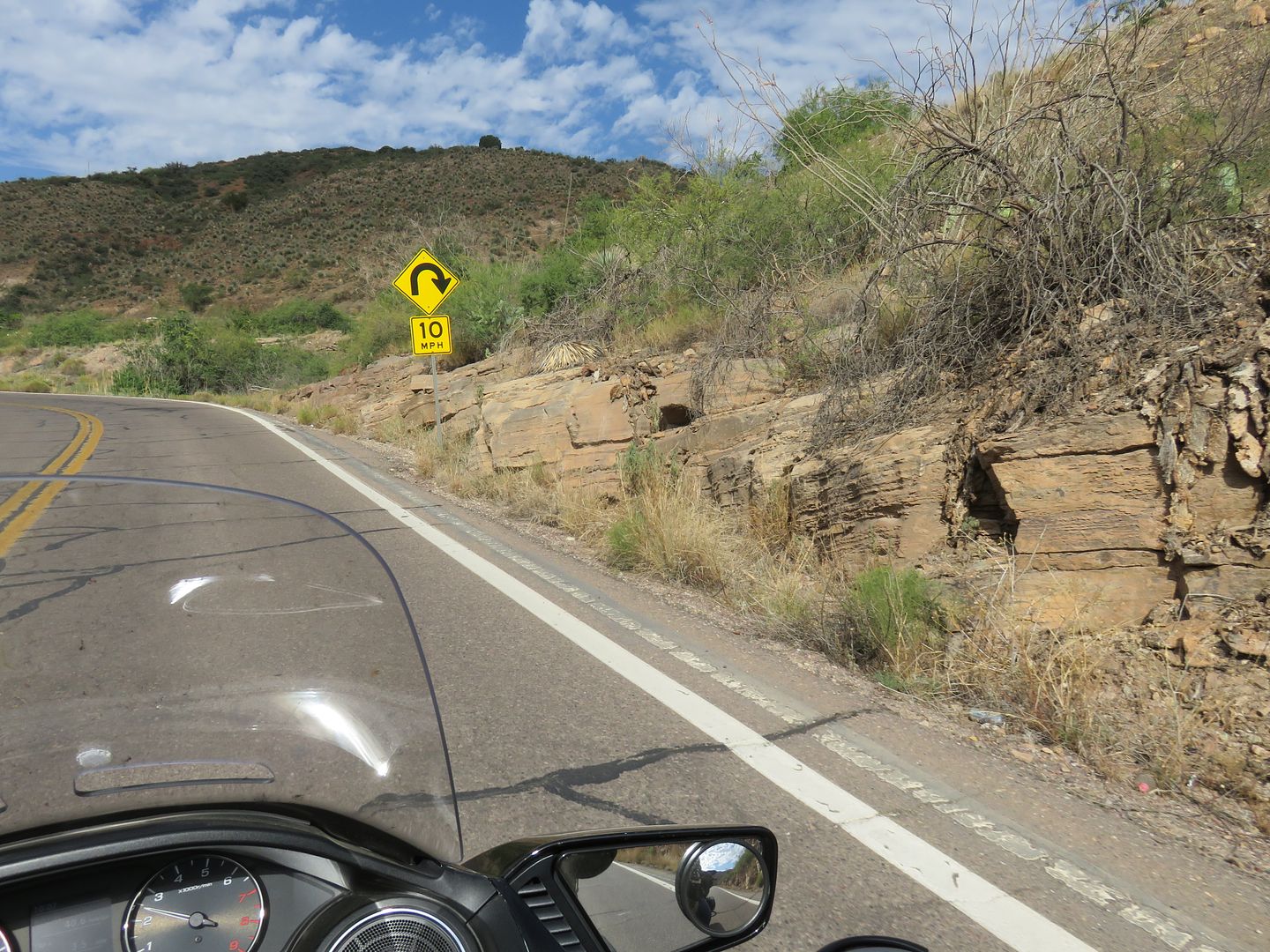
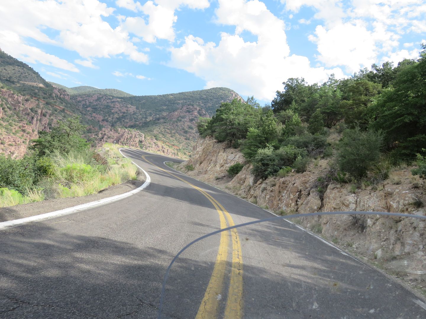
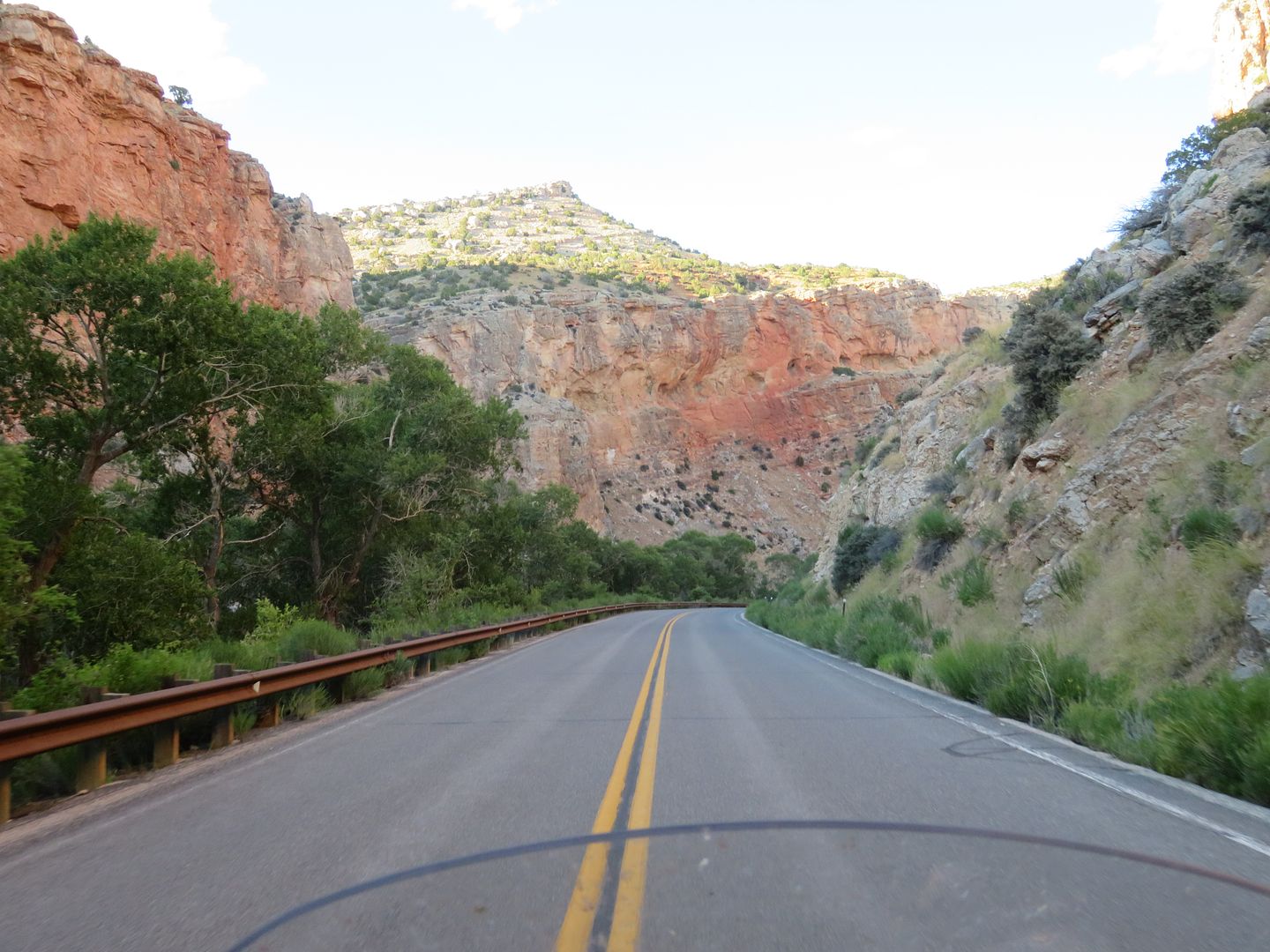
The Coronado Trail (666) 460+ curves in a hundred miles, part of Highway 191.
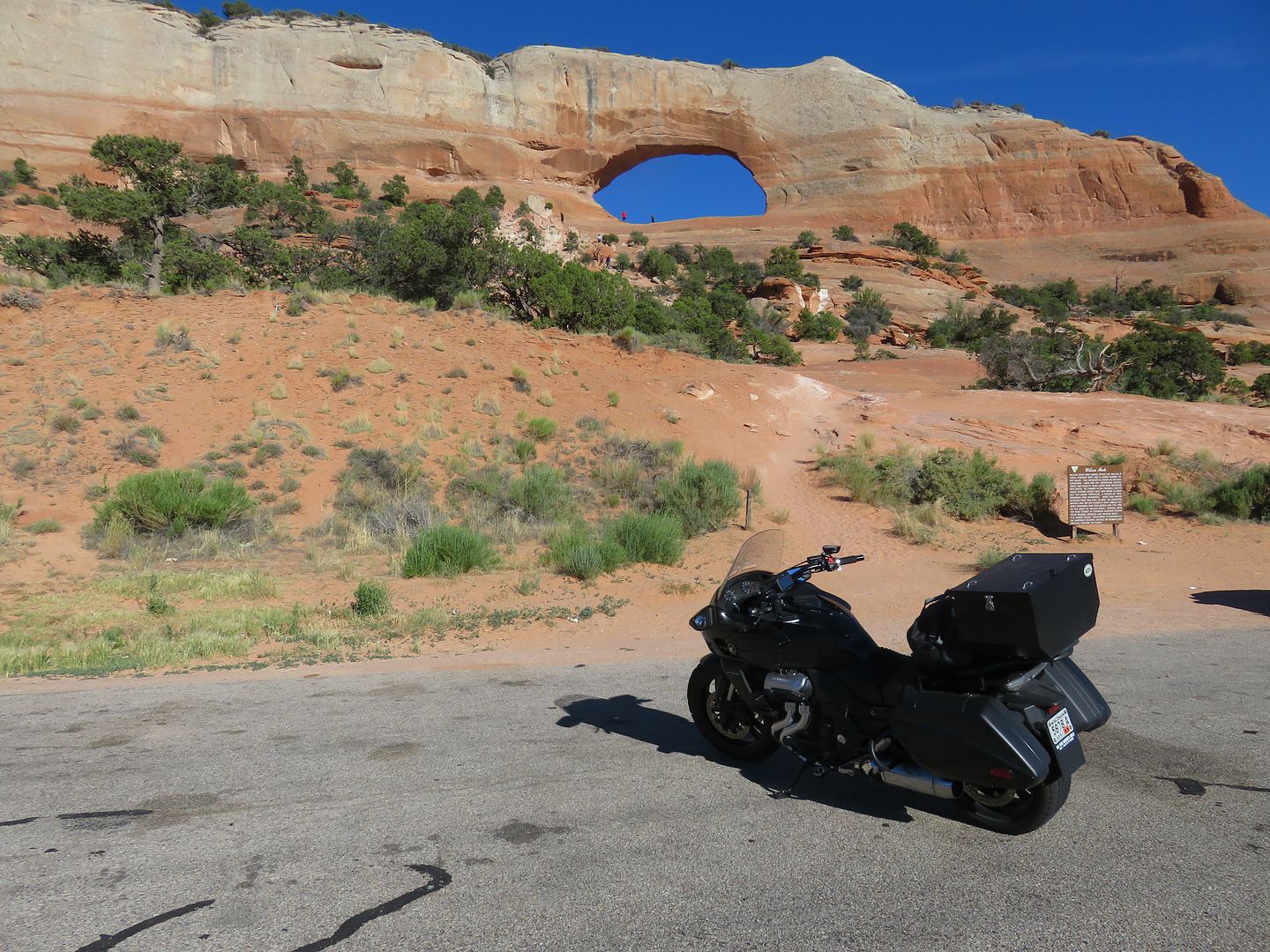
Leaving Moab, UT.
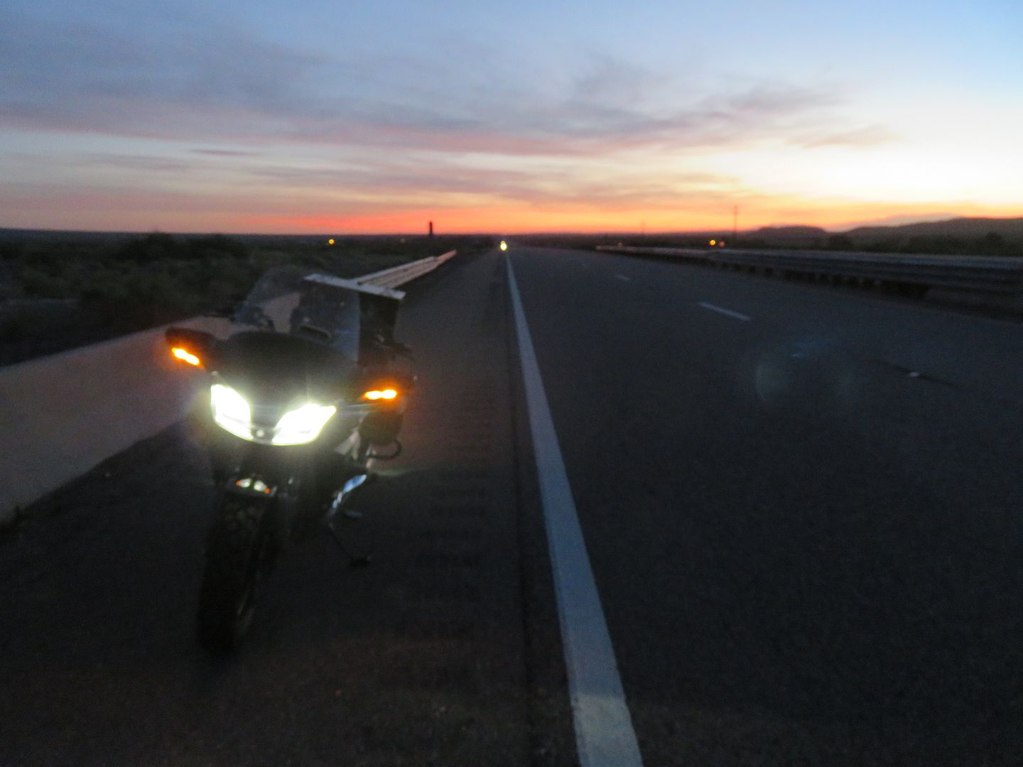
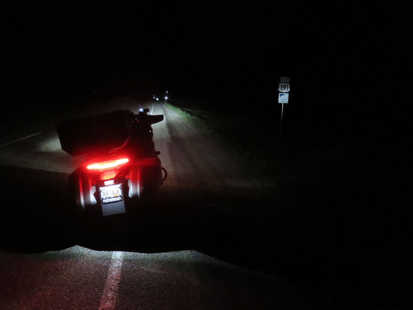
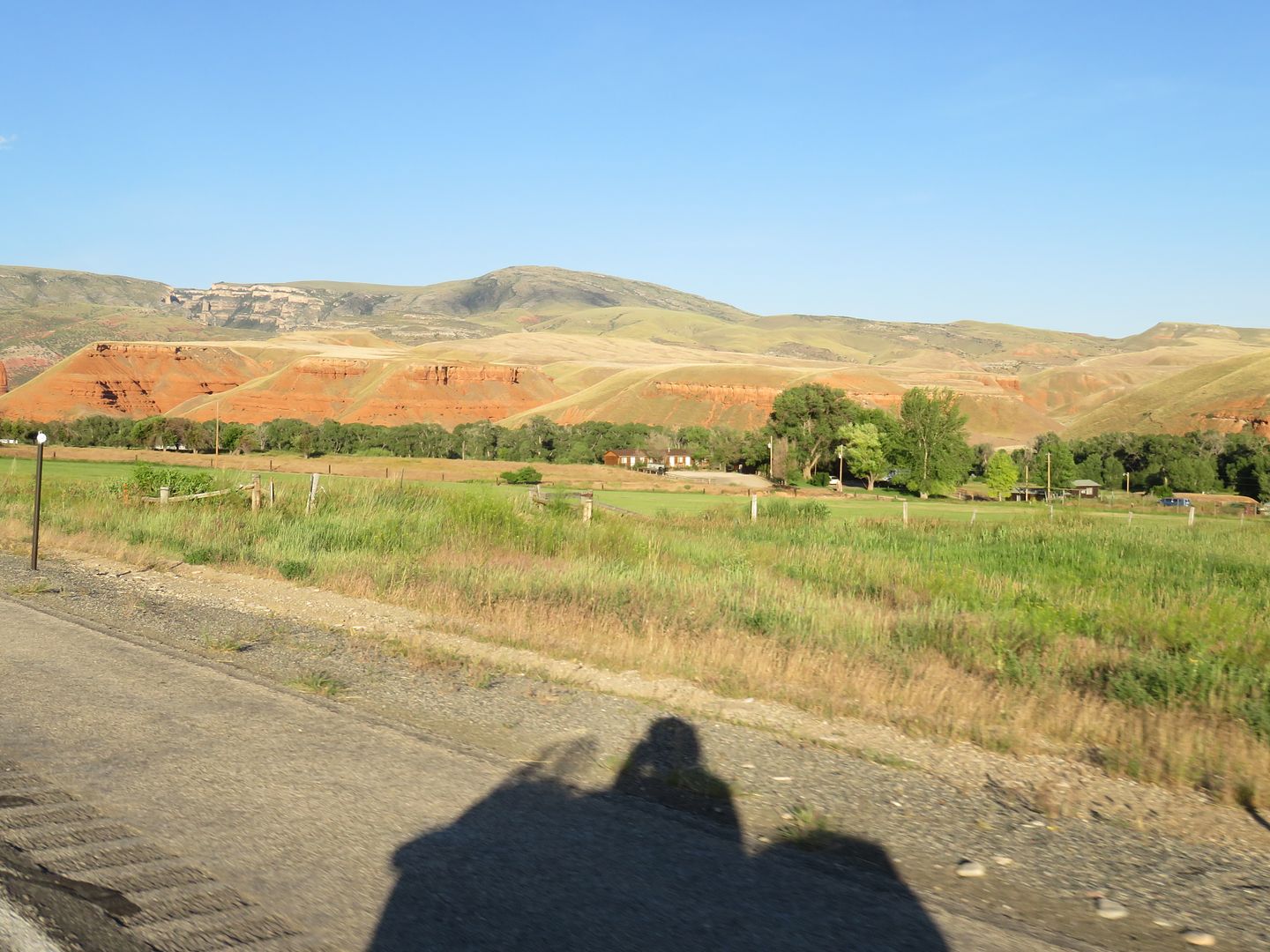
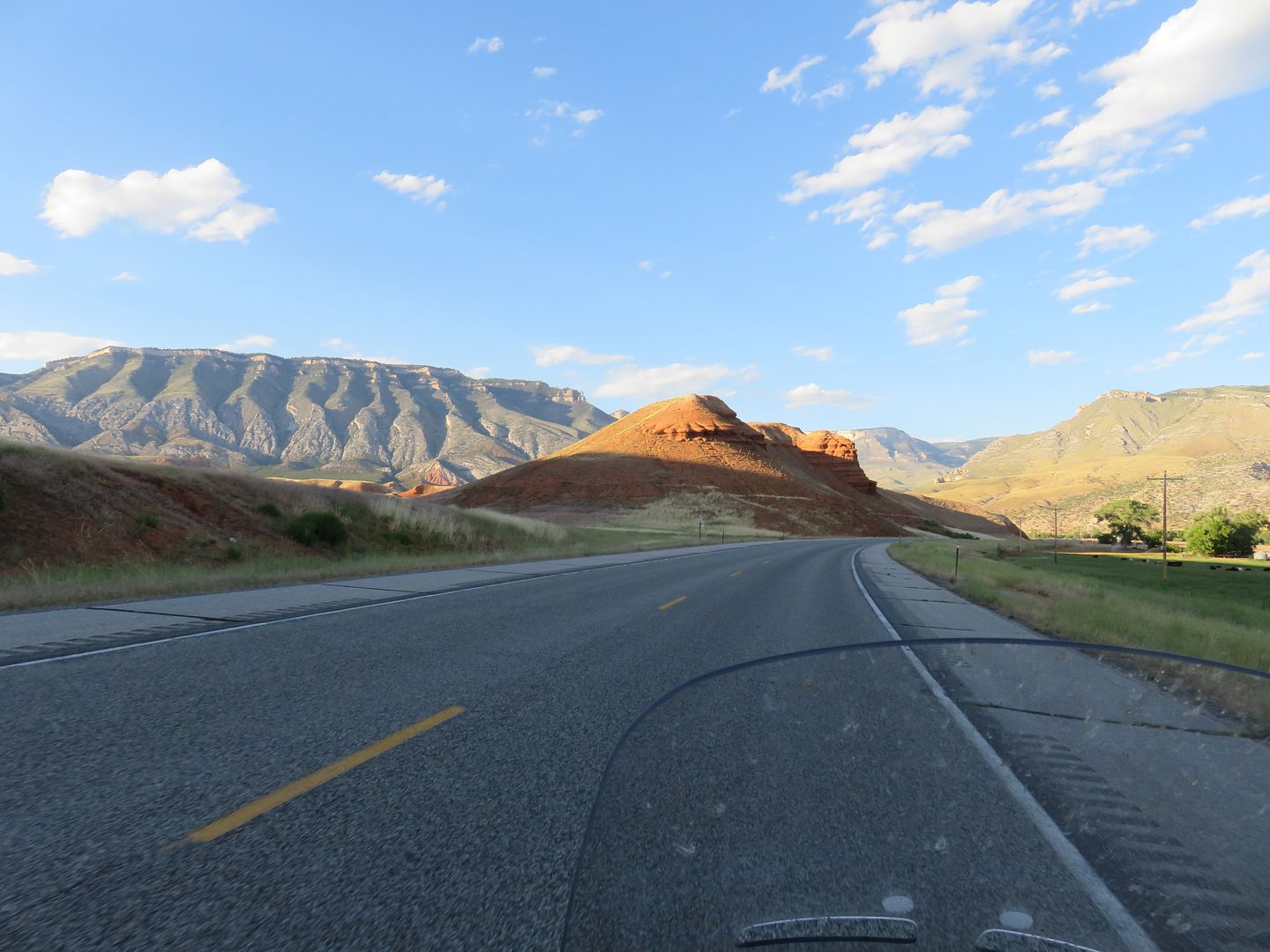
The northern part of Highway 191 was DARK, stars all the way to the ground! The curves in the Flaming Gorge area were very challenging in the dark.
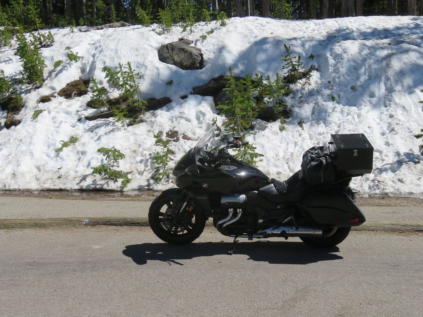
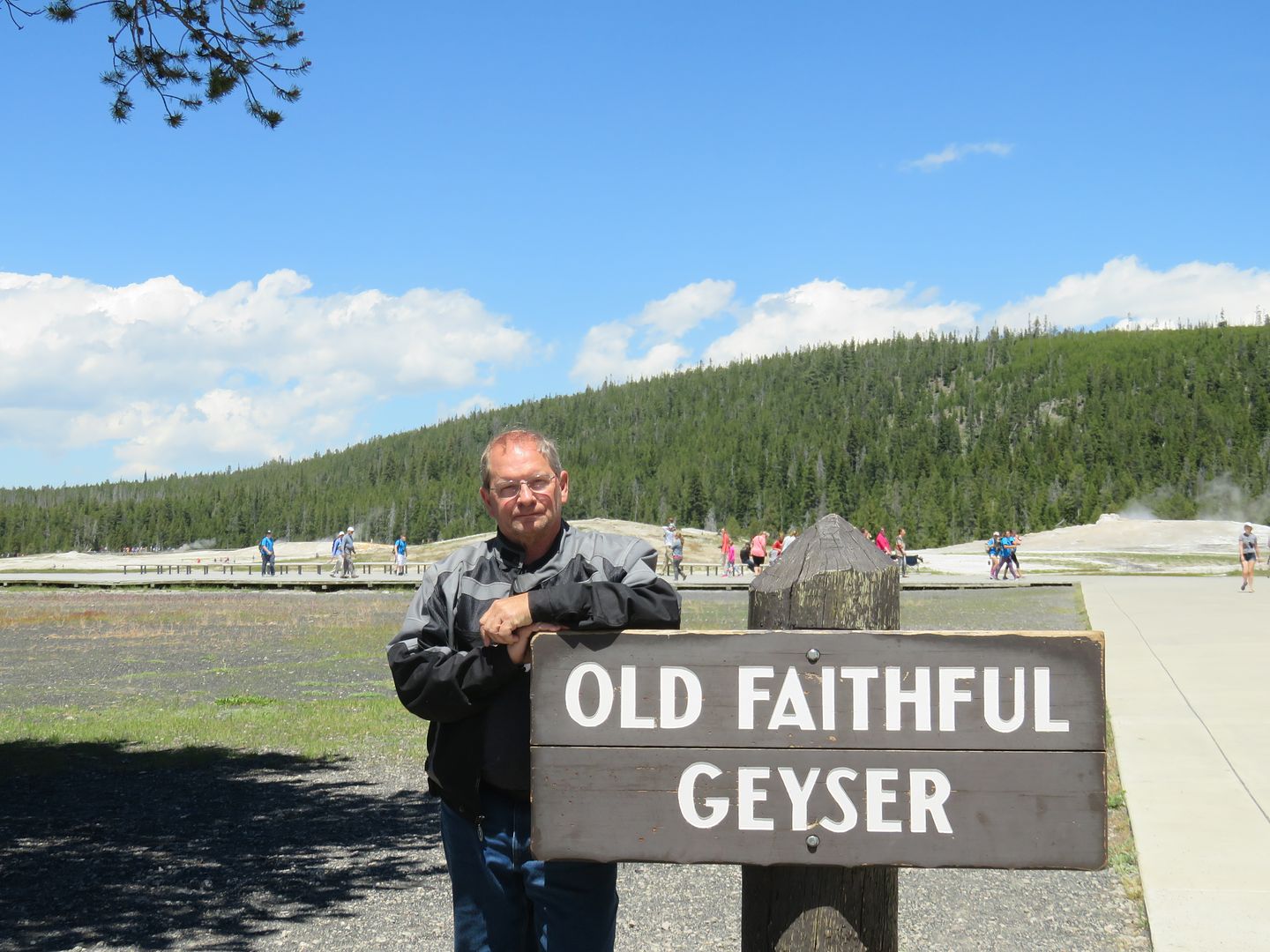
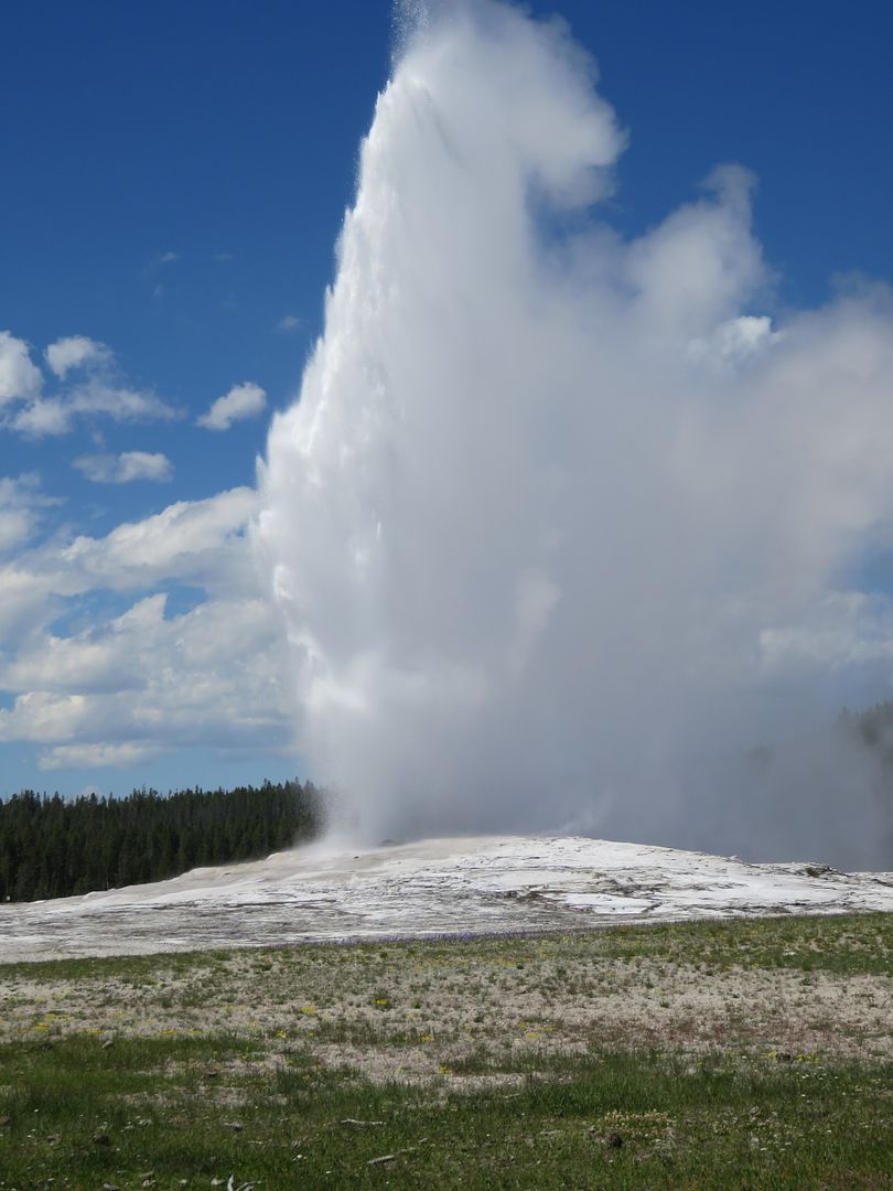
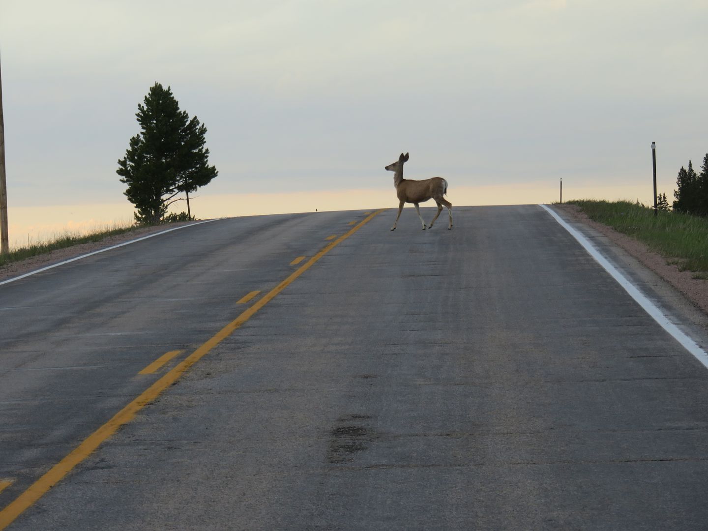
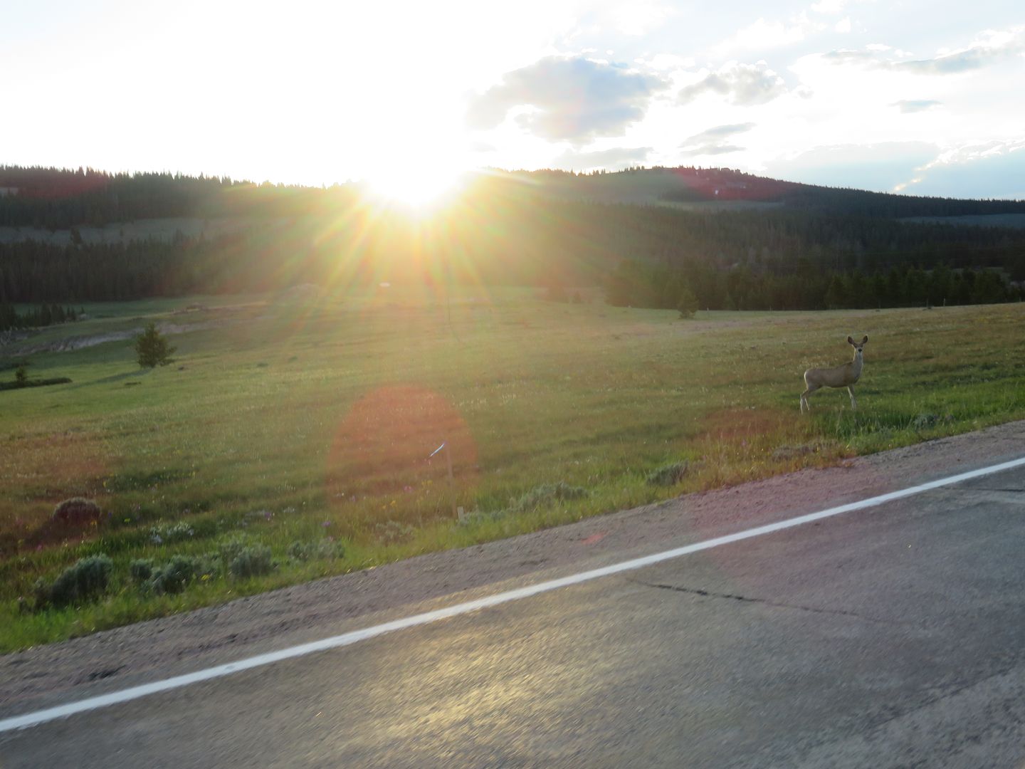
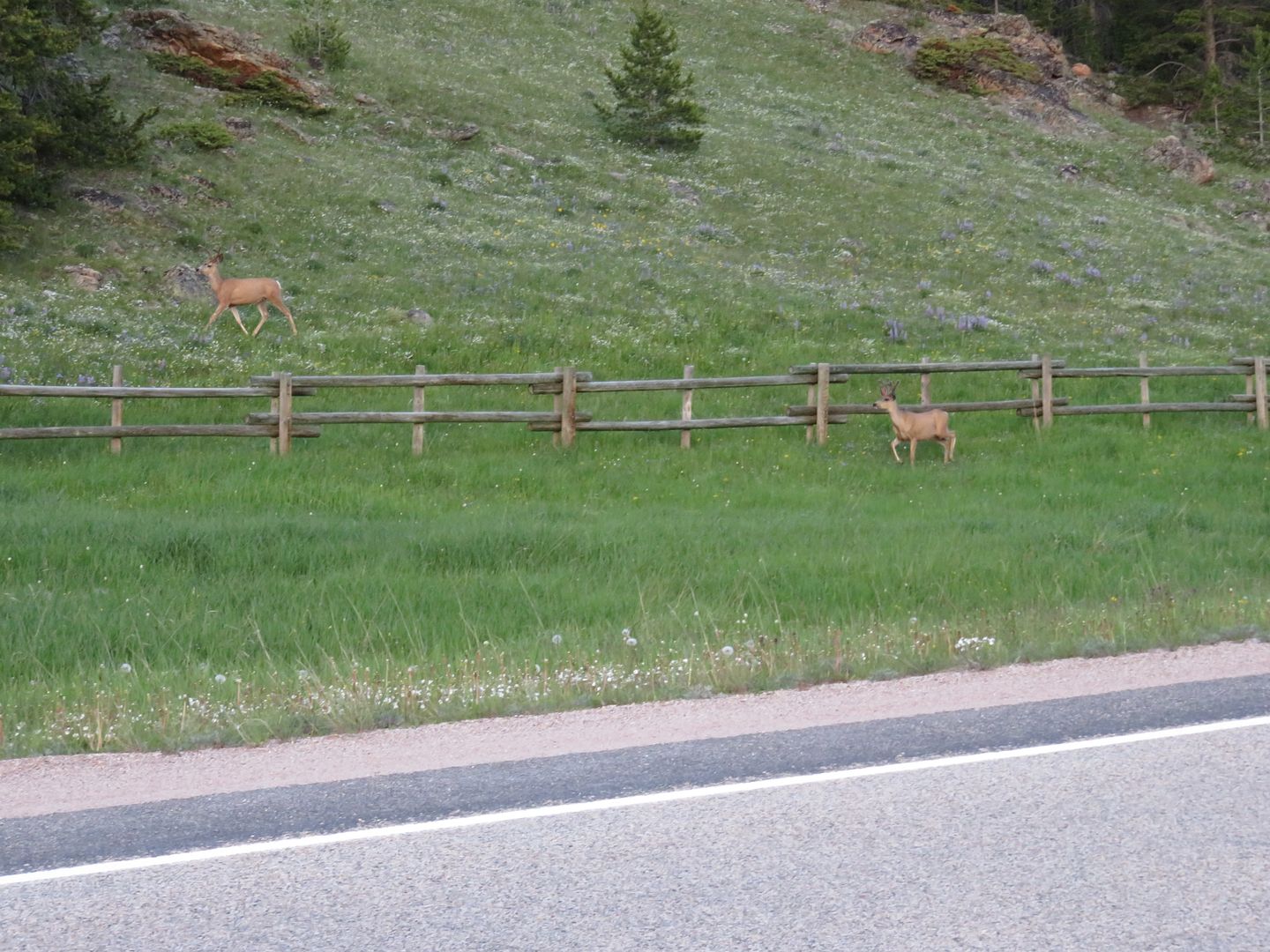
In Yellowstone N.P.
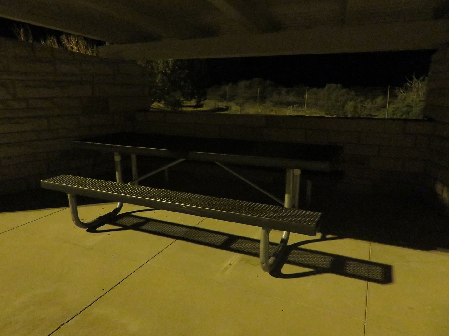
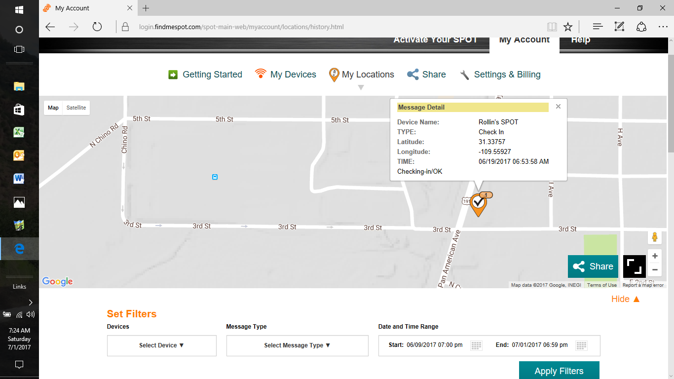
Next... the Spot Tracker, sleeping on a bench and Highway 14 in Wyoming ..............................
Ride 1 was point 1 to point 4 on the map, 1731 miles in less than 30 hours. The IBA BB1500 Silver.
Ride 2 started in Douglas, AZ and continued north 1063 miles in less than 24 hours to Pinedale, WY, point 5 to 14. All done on Highway 191 including some of the crookedest roads in the country including the Coronado Trail (666) (460+ curves) and the Flaming Gorge area in northern Utah. Over 1000 miles were done on two lane roads. The IBA SS1000.
Ride 3 was point 17 to 18, 1084 miles in less than 24 hours, the ride home. The IBA SS1000.
I also spent some time in Jackson, WY, the Grand Tetons and Yellowstone N.P. Temps on the Highway 191 ride ranged from 105 to 41 degrees. Steady rain for the last 200 miles on the way home! Full trip was 4358 miles. It was a 7 day trip and I only needed 3 motels, I do save a lot on motels!
1267 photos taken!
Finished the trip last Friday morning at about 4:00 am. Had a fun, busy and very scenic 7 days.
Started working on the IBA paperwork.
The goal for ride 1 was 1500+ miles in less than 30 hours, completed 1731 miles with 4 minutes to spare.
Trip 2 was the All Highway 191 ride.
Trip 3 was the ride home.
Times are based on receipt time and all were changed to central time to show the actual ride time.
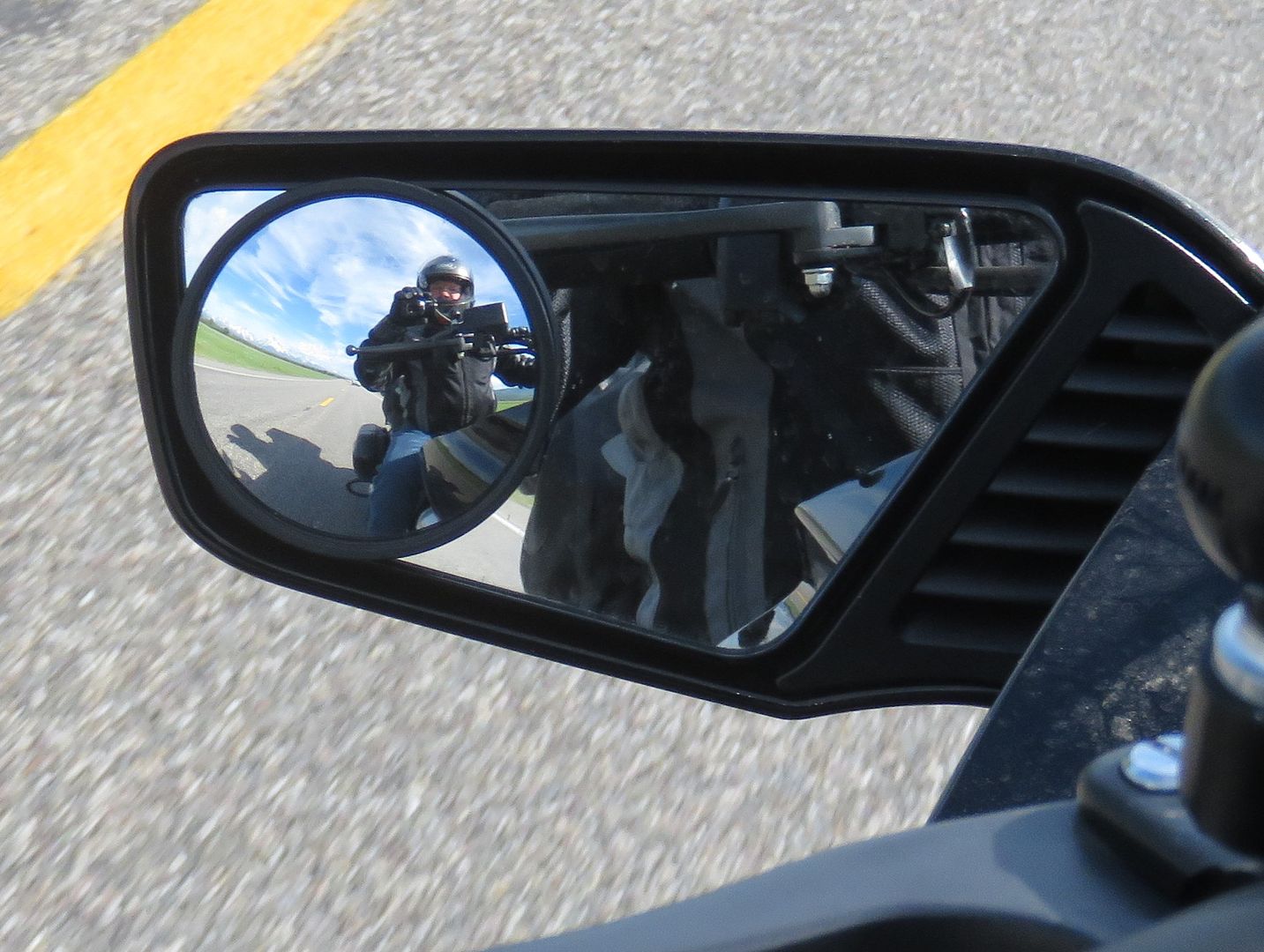
Riding to Douglas.
At the start of the Highway 191 ride in Douglas, AZ. Turn left and you're going to Mexico.
The Coronado Trail (666) 460+ curves in a hundred miles, part of Highway 191.
Leaving Moab, UT.
The northern part of Highway 191 was DARK, stars all the way to the ground! The curves in the Flaming Gorge area were very challenging in the dark.
In Yellowstone N.P.
Next... the Spot Tracker, sleeping on a bench and Highway 14 in Wyoming ..............................
Last edited:
")